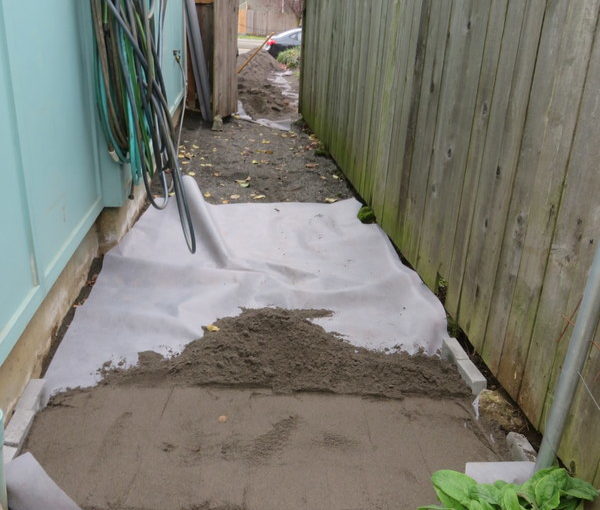
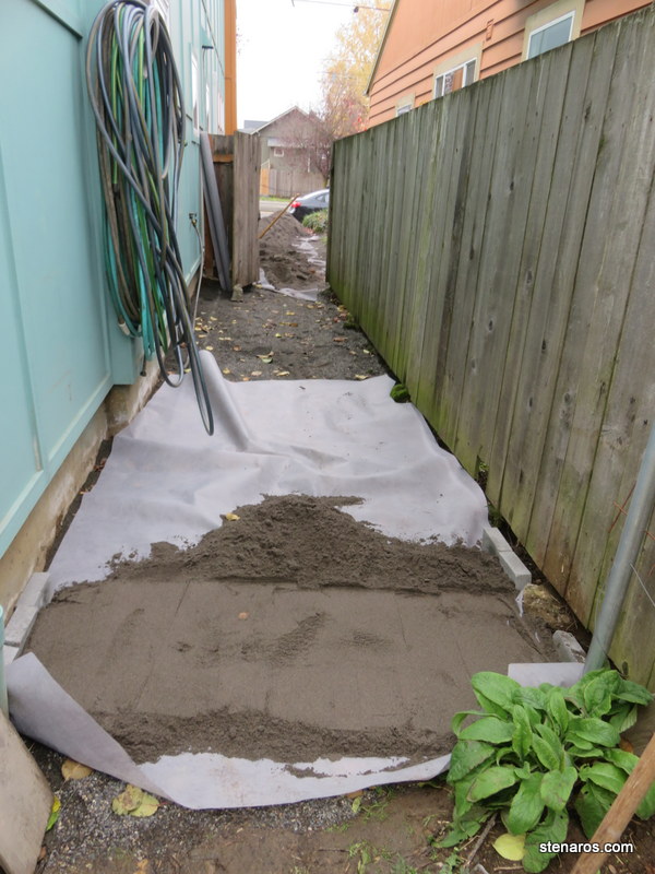
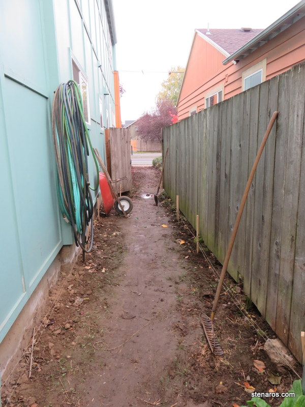
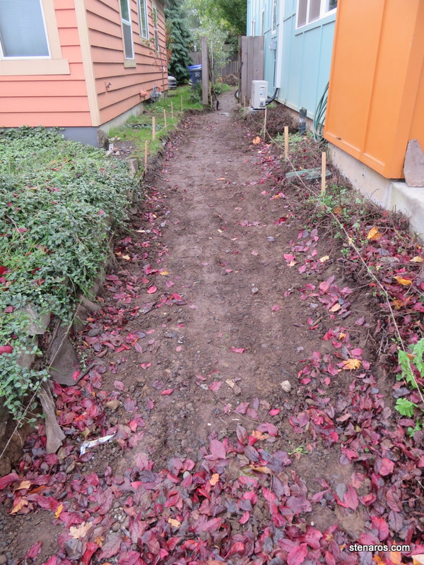
To review. We’ve dug out four inches of dirt, we’ve put down two-ish inches of quarter minus crushed rock. Now we are to the phase where we put down landscape cloth and spread the sand. Then we place the pavers.
Wish us luck. I took no photos of the pavers being set into place. More photos coming soon.
Tag: OrangeDoor
Side Yard Update
As the side yard project continues, the back yard becomes increasingly shabby-looking. This will perhaps increase the motivation to complete the back yard (scheduled for April-June 2018) in a timely fashion.
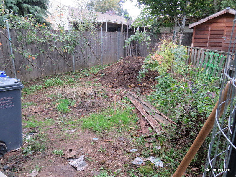
We excavated four inches of dirt. This became a dirt pile in the back of the back yard, though I did give away some to a neighbor on Next Door. Excavating falls firmly into the manual labor category. I found that I was quite efficient at the process, thanks to my years of double digging. When we were done: a mostly even slick of muddy ground.
Here’s the view from the sidewalk. It was exciting to finish the digging part of the project. But that lead to….
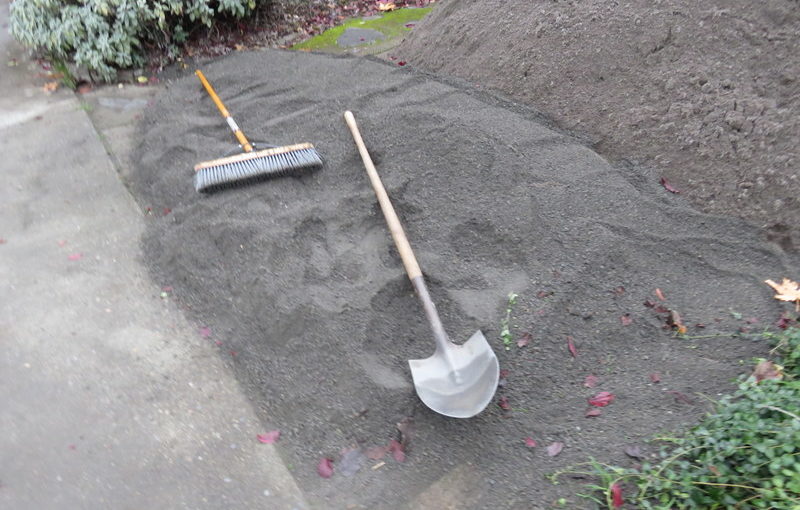
Four cubic yards of quarter-minus crushed rock, and 3.5 cubic yards of sand. Our neighbor Leo was kind enough to let them deliver to his driveway, as we have none. This also meant we needed to move all this stuff in one weekend.
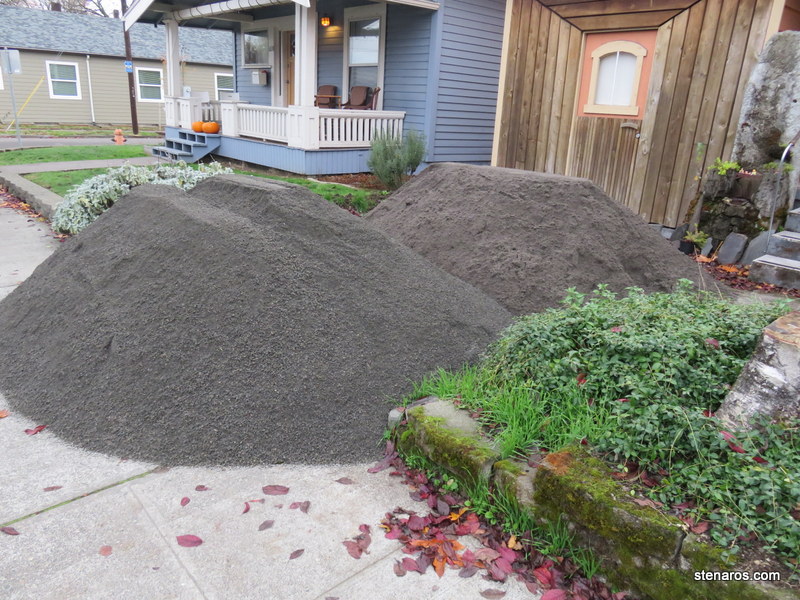
We got the crushed rock spread and found we had this much left. I put it up as free on Craigslist, had someone contact me within 30 minutes and then she showed up at seven o’clock on a Sunday morning to take it away. She was quick. That just left 3.5 cubic yards of sand to move.
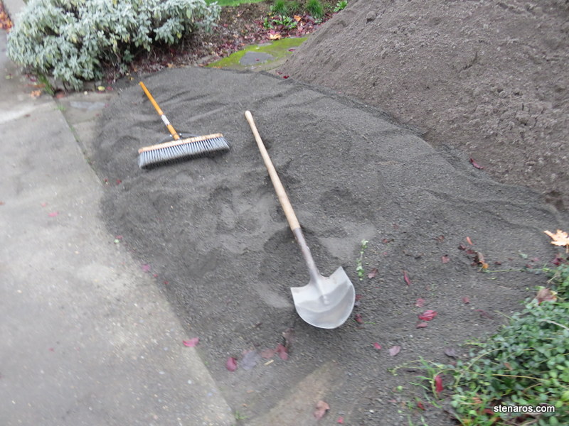
We put down landscape cloth and piled it into the side yard. It was a lot of work. Next up will be putting the sand in a layer, not a pile, and putting pavers into place.
Heat Pump!
Today is the day we get our new heat pump. Currently, our home is heated by Cadet heaters. I dislike them for a variety of reasons: You have to turn them on and off, there’s no set-it-and-forget-it option; They are expensive to run; There’s not a lot of control, they go from too cold to too hot.
I’ve been longing for a ductless mini-split heat pump for years. And since we’re putting a path in the side yard, we decided to have the heat pump installed now. That way, we would know how much space it was taking up before we put in the path.
Here’s our before picture: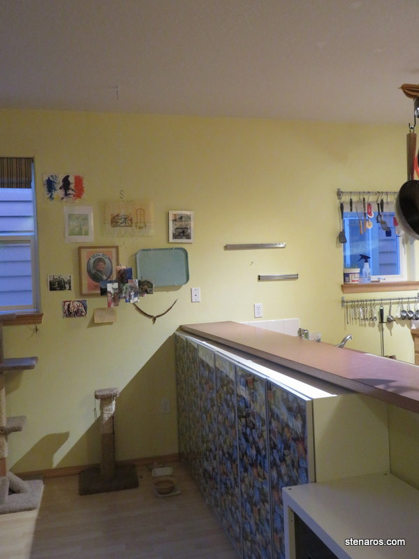
And here’s what it looks like after! That little guy is going to heat our 1000 square foot house much more efficiently than the cadet heaters.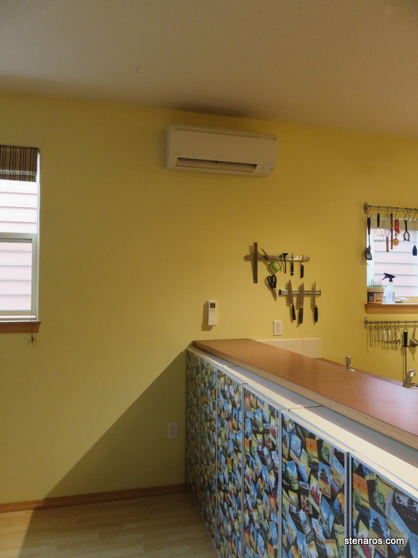
One thing that worked out quite well, is that the remote control–which is used to control the temperature–fits nicely where our phone jack used to be. We will always know where the remote is, and our unessential phone jack is covered.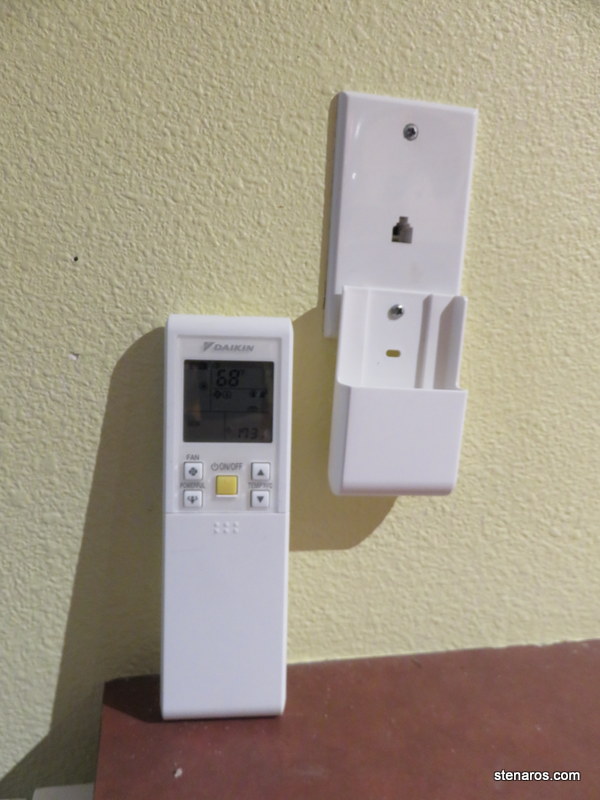
Here’s what it looks like from outside. 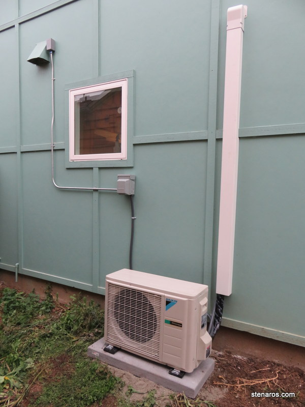
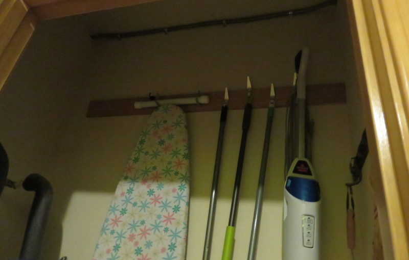
The electrician had the worst job. We don’t have a crawlspace and we don’t have an attic, so he had to run the cable to the electrical panel from the outside through the dead space in the kitchen. Then he had to make a turn and sneak through the closet.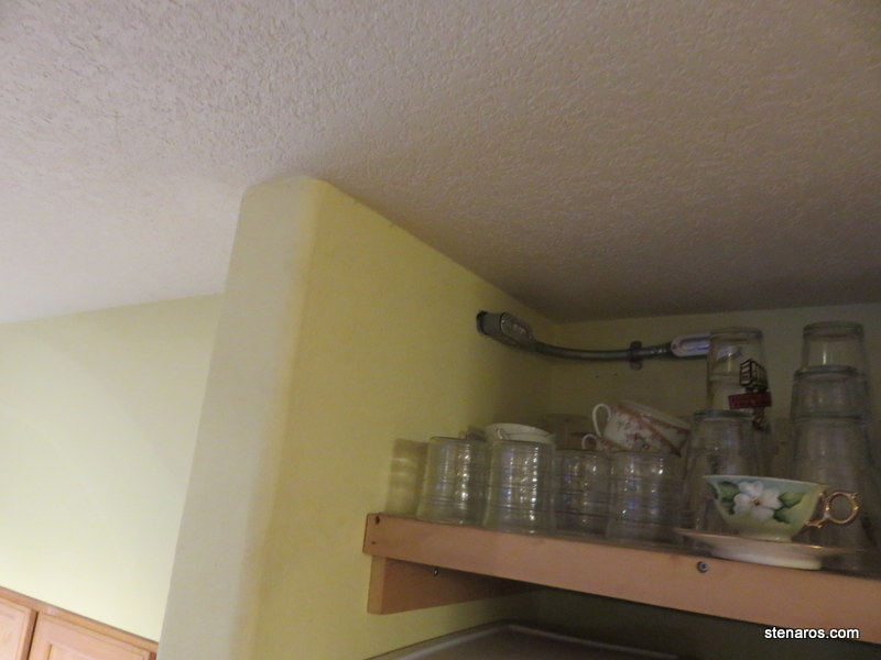
He was a bit sweaty by the end of it, and sadly lamented our lack of crawlspace. 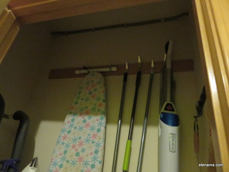
It’s nice to have this project done. Right now the temperature is such that we don’t need the heat pump to work, so we’ve mostly been using the fan feature. This is probably the first year of my life–ever–that I’ve looked forward to colder temperatures.
Seaside Day II
We started our day with a walk and then took in some indoor mini-golf. Matt won. (As he always does when we play mini-golf)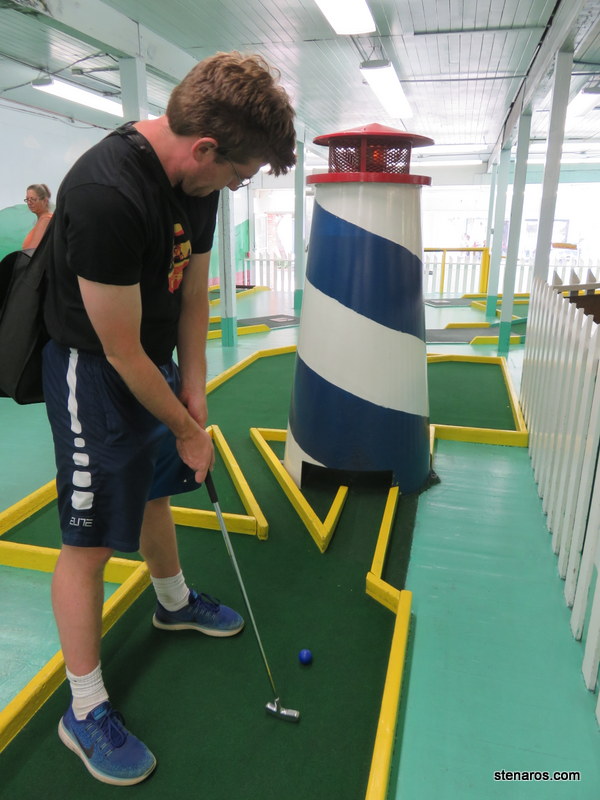
We spent part of the day walking around looking for scavenger hunt clues. More about that tomorrow. Along the promenade, we found this self-service flower shop.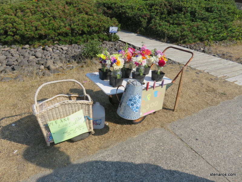
Sitting on the big chair outside the Seaside Visitor’s Bureau.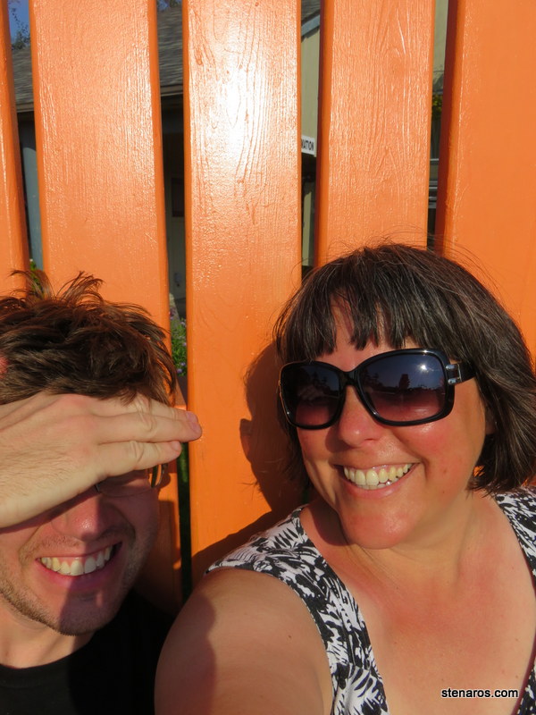
Let’s talk about the super awesome, probably original cabinetry in our beach house. I love it so much! And there is even a built-in strange object that I finally determined was a dish-towel holder. You can see it on the lower cabinet on the right, between the first and second cabinets. It had a marble inside it, and that was the thing that would grab onto your dish towel.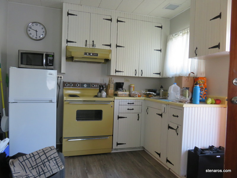
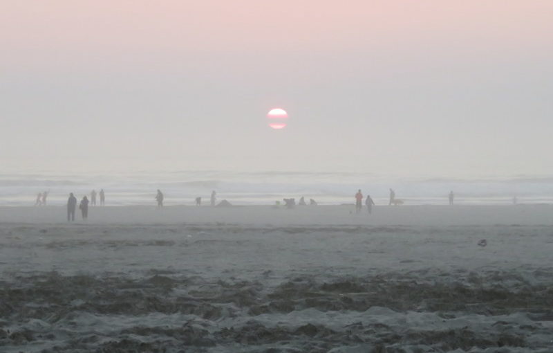
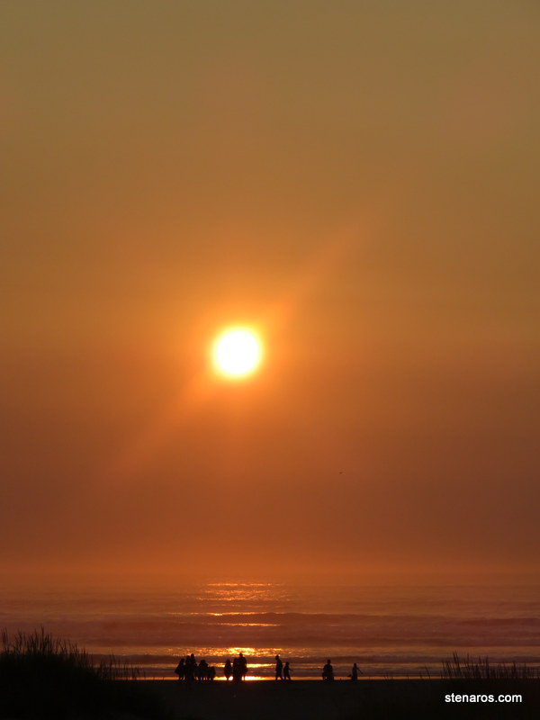
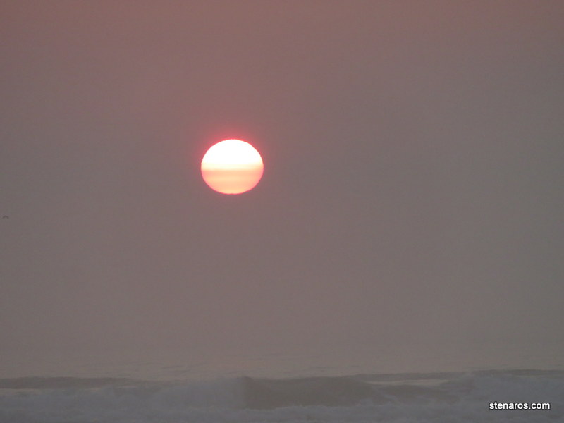
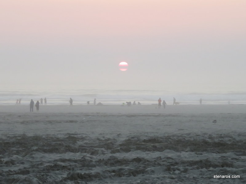
We took a sunset walk along the beach.
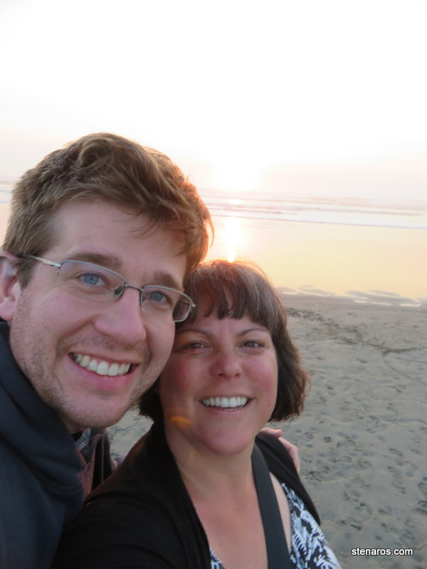
Our sunset self-portrait. (Minus the sun.)
As you can see, we were in good company with the photo-taking. This was the trip where I was astounded at the number of people staring at their phones while at the beach. We’ve crossed some hurdle where the potential for ruin via sand/seawater is not enough to change people’s normal cell-phone-all-the-time-behavior.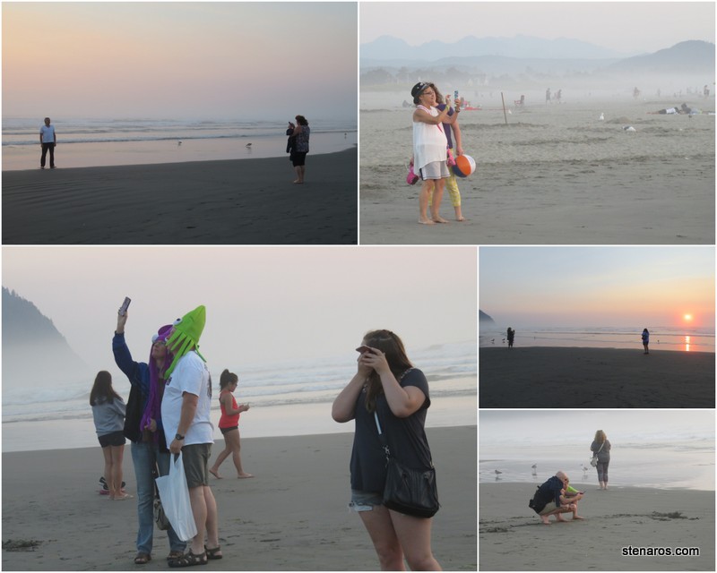
 After the sun went down, we walked up to Dairy Queen for a Blizzard. The store was open until 11, but the employees made it very clear they would rather not be. The only lights on were in the employee area, they had one seating section closed and the Blizzard they made me was sub-standard. But that’s what I get for spending my money in a place where the employees didn’t want to take my money.
Seaside Day I
We made it to Seaside and killed time before checking into our cabin by visiting the beach. It was a good beach day.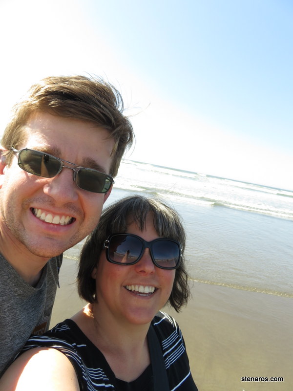
The tide was coming in, and we watched this crab deal with the back and forth of the water.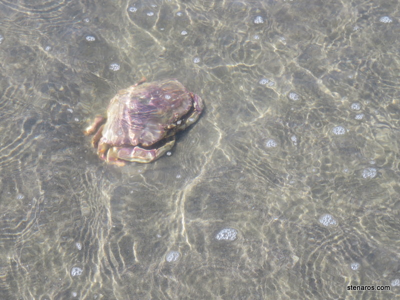
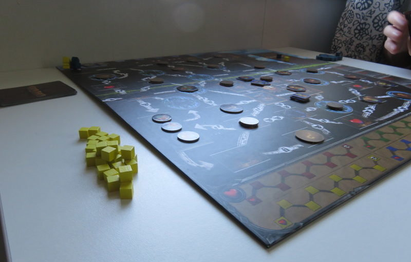
Then we played Clank!, Matt’s new deck building game.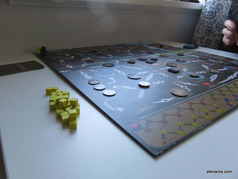
Saddle Mountain
Since we were headed to Seaside for our vacation, we planned to hike to the top of Saddle Mountain. We did this hike early in the relationship. Maybe year three? For me, this was a good reminder at how different one’s fitness level can become in a decade, plus a few years.
In our previous hike, we got to the trail early. So early that we took some naked hiking pictures, because there were no people around. At various times on our hike today, one or the other of us would say, “I think this is maybe where we took the naked hiking pictures?” This was one of my guesses. I’m not entirely sure where the naked hiking pictures are right now, so I can’t check to see if I was right.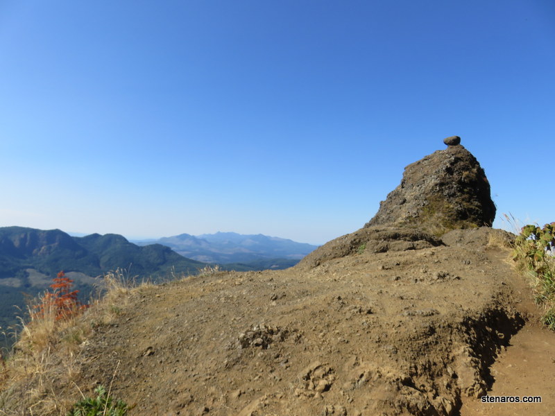
Someone is committed to keeping this picnic bench in this location. Matt stands on the precipice.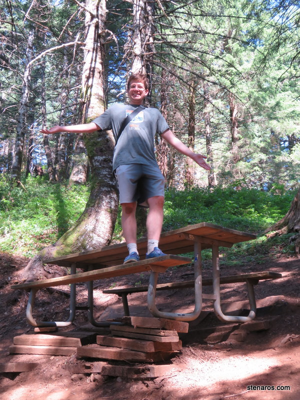
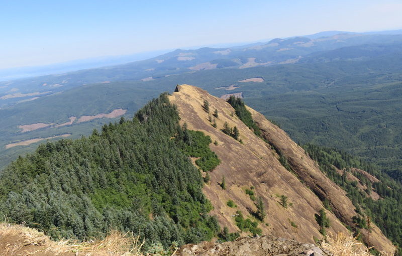
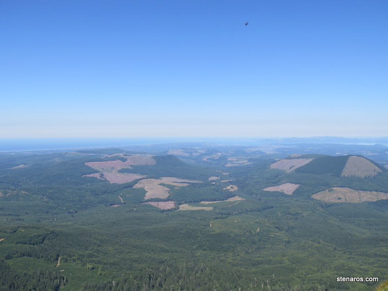
From the top! There were a ton of bugs at the top. They were flying into our mouths as we were trying to take this picture. That’s the ocean behind us, on the horizon.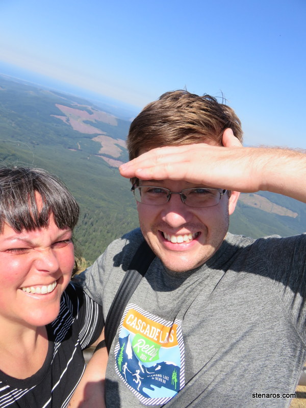
Along with our fellow hikers, we retreated to a non-bug area below the top. There we rested, and took this self-portrait. It was windy.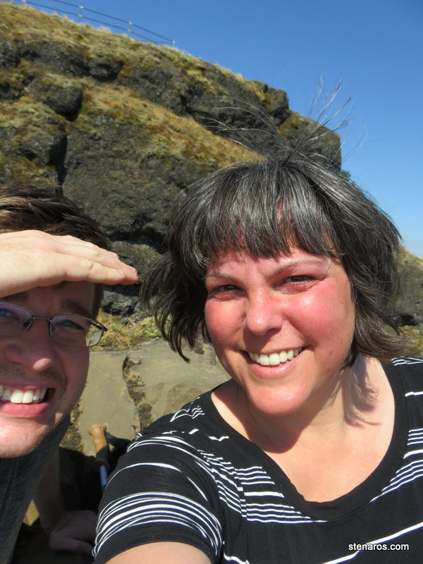
Matt wandered out to the precipice area and grabbed this photo.
After hiking back down, we ate the most delicious sandwiches I’ve ever made. There’s something to be said for one’s appetite after such physical exertion.
Getting home from the Eclipse
And here’s where I should have kept to what I had planned. 
Instead of following the Oregon Bikeways path between Salem and Champoeg, we made the mistake of using Waze. Waze kept wanting to put us on the freeway. Unfortunately, every entrance to the freeway had very long backups. We would wait for a while and then Waze would re-route us further south, to wait in another long line for the freeway. We did this four times, never actually reaching the freeway, before I called, “Uncle,” we stopped at a truck stop to have a mediocre meal, and I took over the navigating.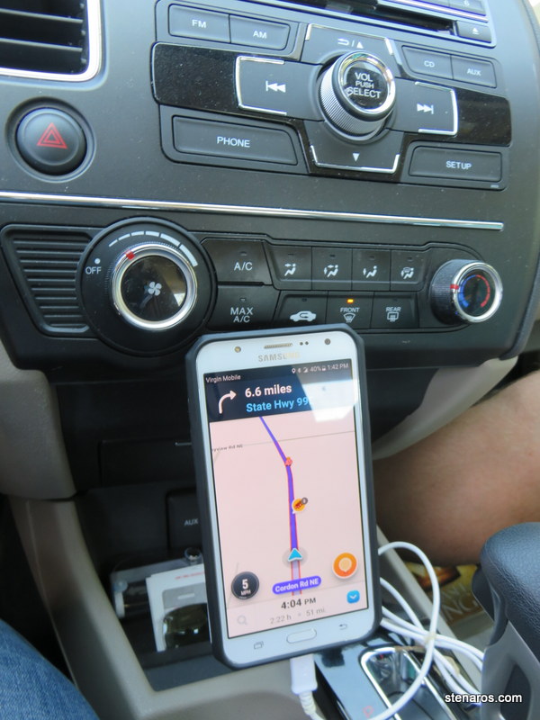
This man was walking faster than cars were moving.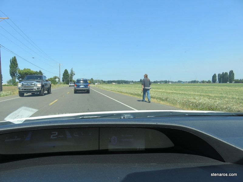
There was a lot of this: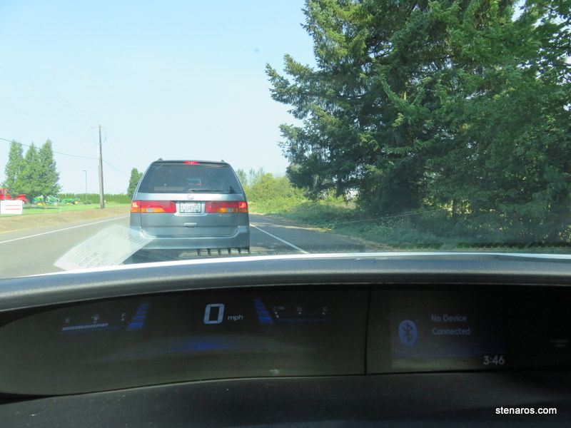
I didn’t keep track of what time we left Salem, probably 1:15-1:30 pm. After the truck stop, I used Google Maps and chased the roads that were green. It meant we went out of our way, but at least we were moving. Once we got far enough north on back roads, we easily popped onto the interstate and had a quick trip home. But overall? Probably five hours in the car. It took us an hour to get there.
Still totally worth it.
Matt as the Oregon governors
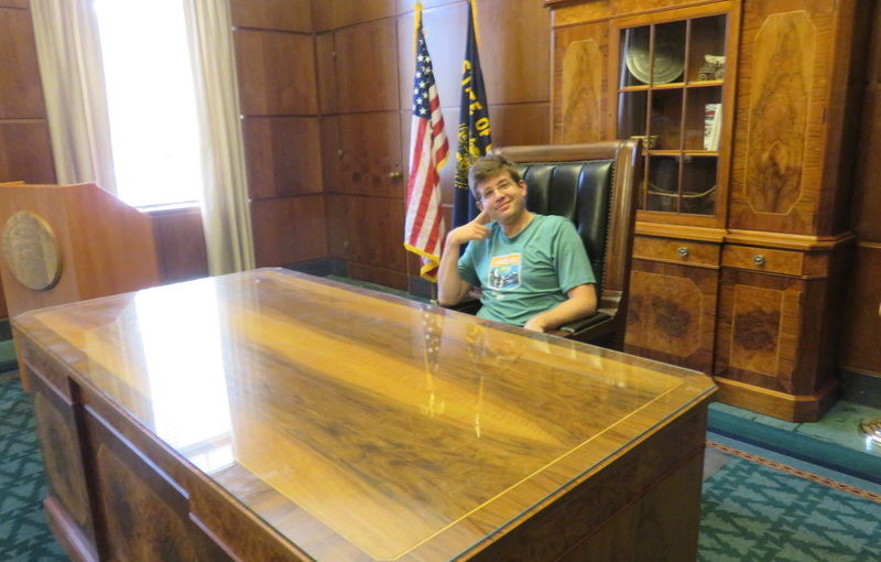
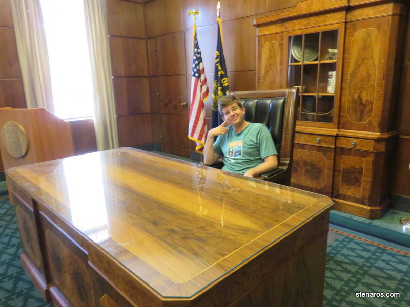
After the eclipse, I stood in line to have the letters and postcards cancelled, and then we took a self-guided tour of the capitol.
Here’s Matt, sitting at the governor’s desk.
And now let’s see Matt as the governors. As Theodore T. Greer:
As Julius Meier: (note that after that first picture, I neglected to take photos of the name plates, and there is not a convenient State Capitol Virtual Tour of all the portraits. So I’m matching faces to Wikipedia entries, especially for the pre-1960’s governors. Feel free to suggest corrections.)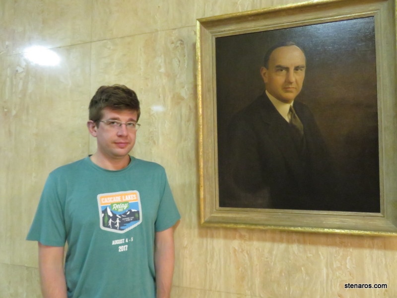
As Oswald West: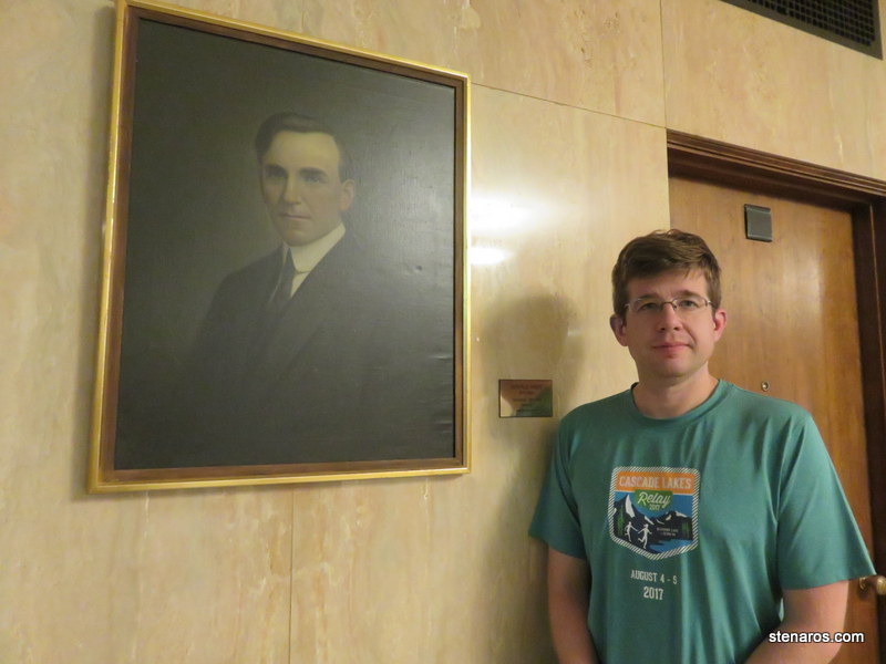
As Vic Atiyeh: 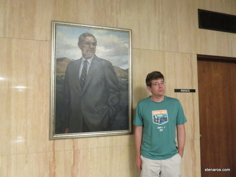
As Ted Kulongoski: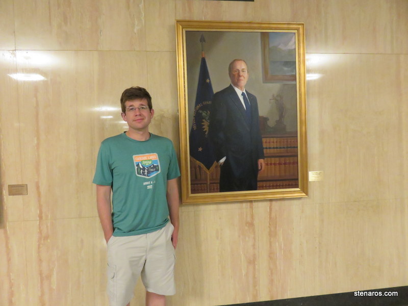
As John Kitzhaber: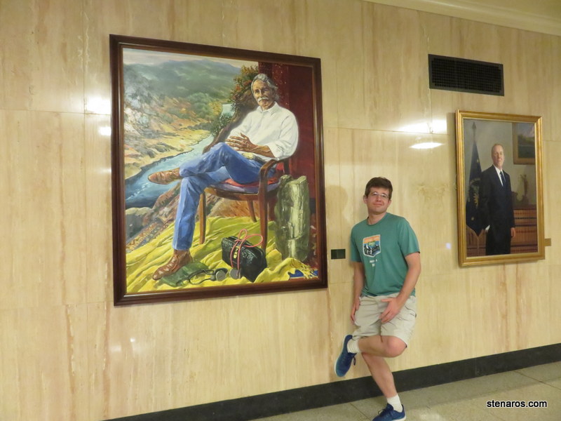
As Tom McCall: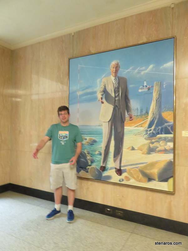
As Barbara Roberts: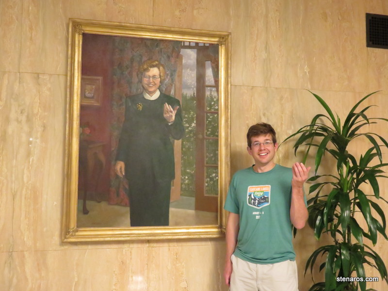
As Bob Straub: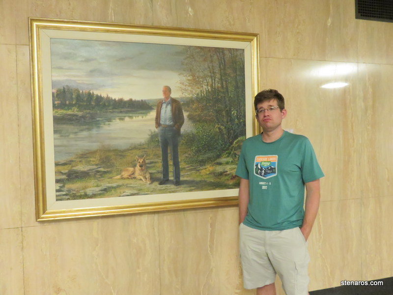
And also as the dog: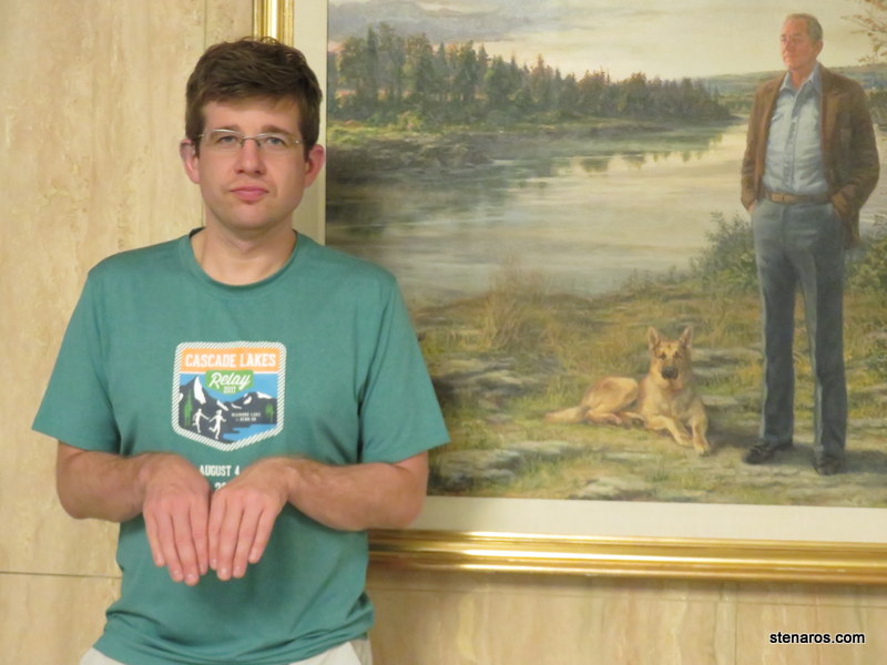
I was quite taken by this very large mural of a good lookin’ shirtless guy. Who was that guy? Why did a shirtless worker make the cut for official statehouse murals? 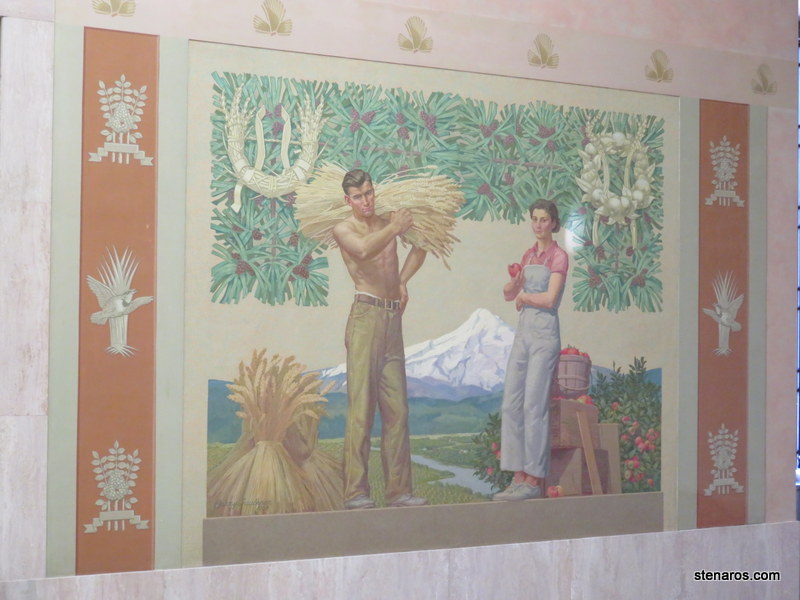
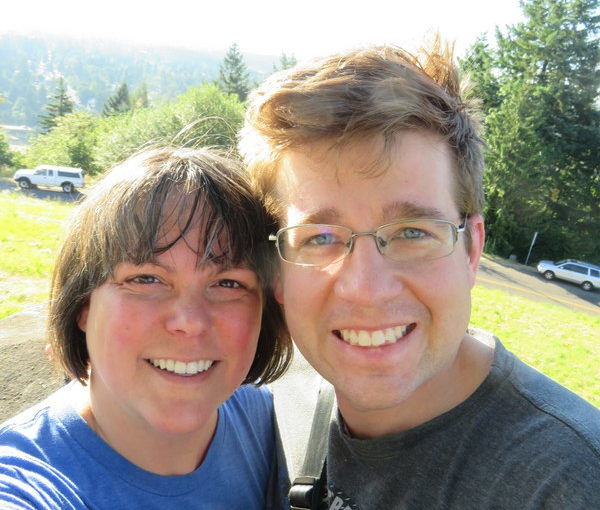
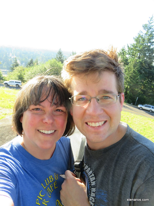
View from Powell Butte
We’ve taken a lot of short hikes this summer. This was another of those. It was the Portland Hill Walk that took us to the top of Powell Butte which gave us a very nice view of Portland.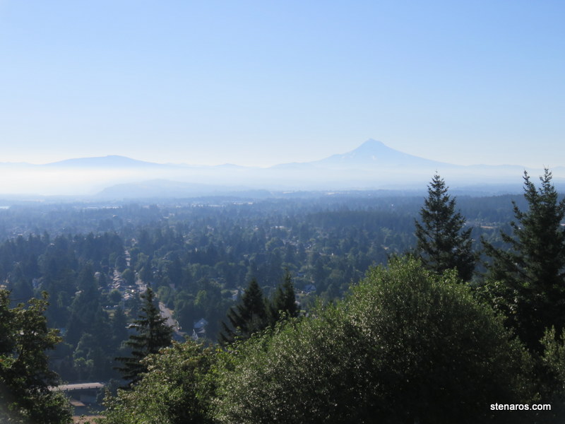
Self-portrait from the top.
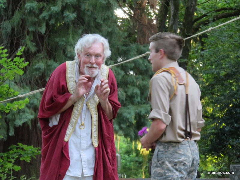
Troilus & Cressida at Lone Fir Cemetery
It’s summer Shakespeare season. We’ve seen Portland Actors Ensemble shows at Lone Fir before and so go there early to claim our space. We caught the end of rehearsal, when guns were scattered about.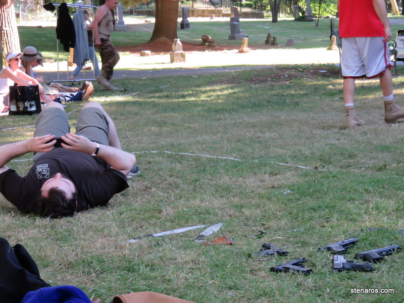
This was a robustly military production of the often-not-seen Troilus & Cressida.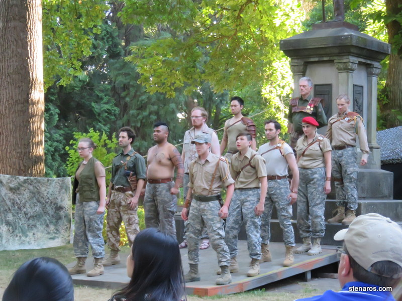
I enjoyed what this percussionist–seemingly not mentioned in the program?–added to the story.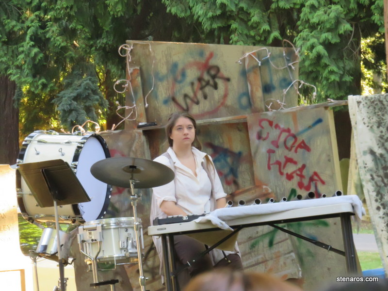
There were good performances by all, with some actors having incredibly fun expressive faces.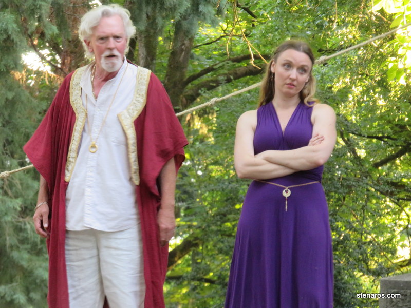
I wasn’t the only person taking photos.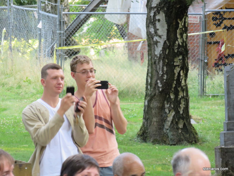
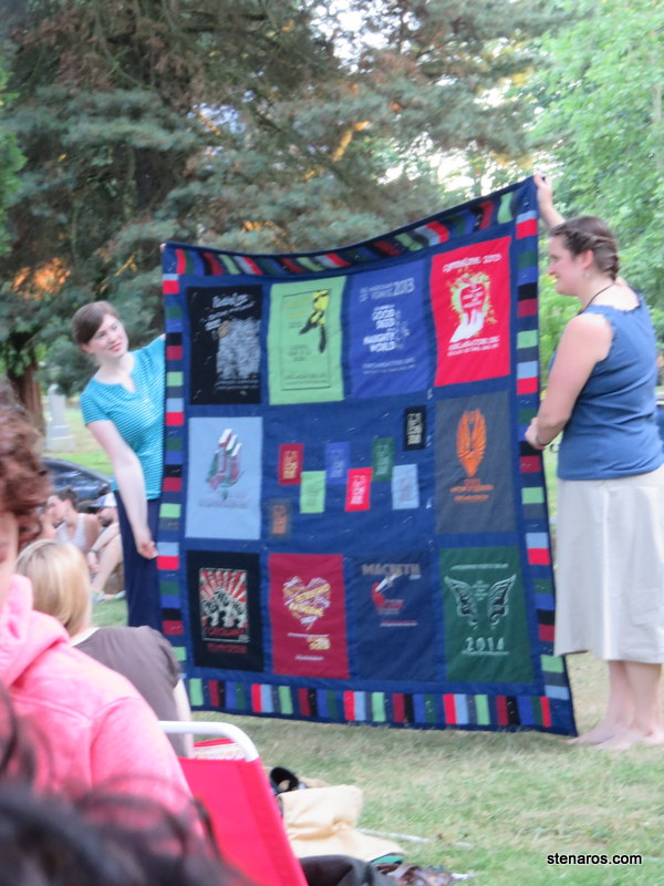
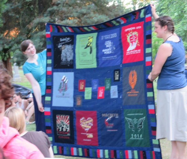
In the audience tonight was the woman who has been designing the PAE t-shirts. She was working a quilt to commemorate her work. I love this quilt! She’s a great designer. I used to have the top row, second-from-the-left shirt.