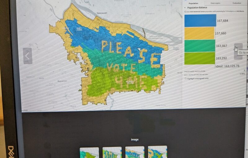
Portland is getting a new form of government, and with it comes the task of splitting the city in four districts. FLO Analytics was charged with this task. Part of what FLO offers is a platform so the public can make their own suggestions by creating maps.
This comes in handy because it helps the public see what elements come with trying to make reasonable district boundaries. The app walks potential mapmakers through all the things they need to consider. But sometimes, people just want to be creative, like in these four maps.
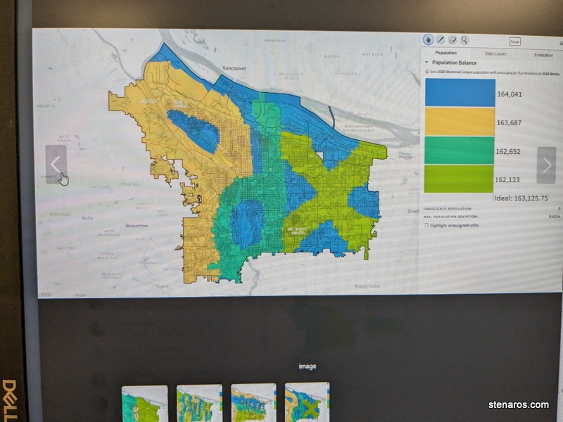
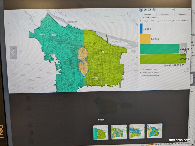
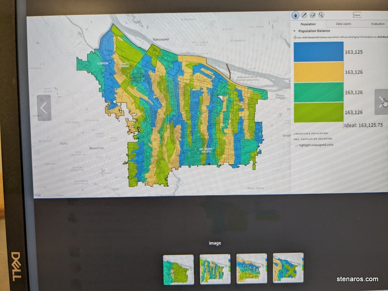
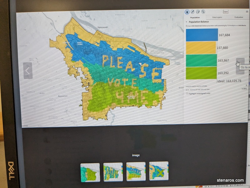
I appreciated how all but one mapmaker kept the districts about even in number.
Here’s what the final map looks like. I’m District 2.