At the beginning.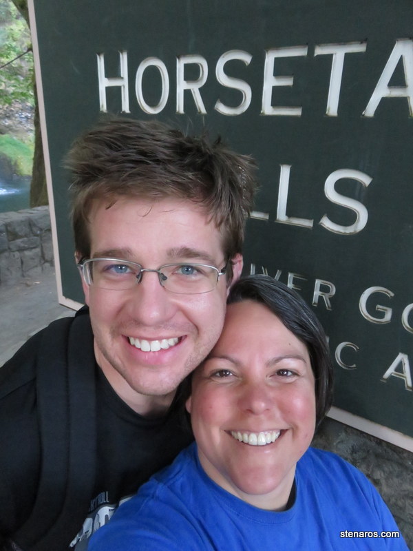
The eponymous falls.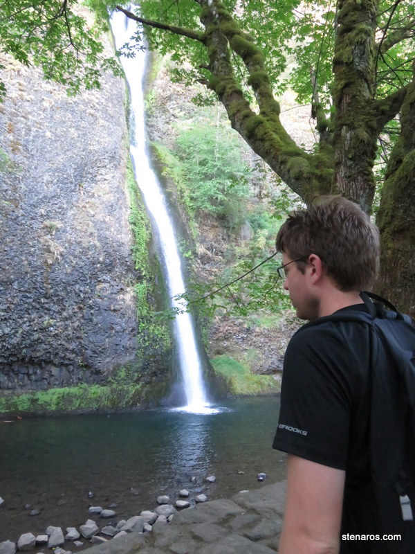
Thanks to this interpretative sign, I now know the different types of waterfalls. From left to right: Horsetail Waterfalls, Plunge Waterfalls, Segmented Waterfalls.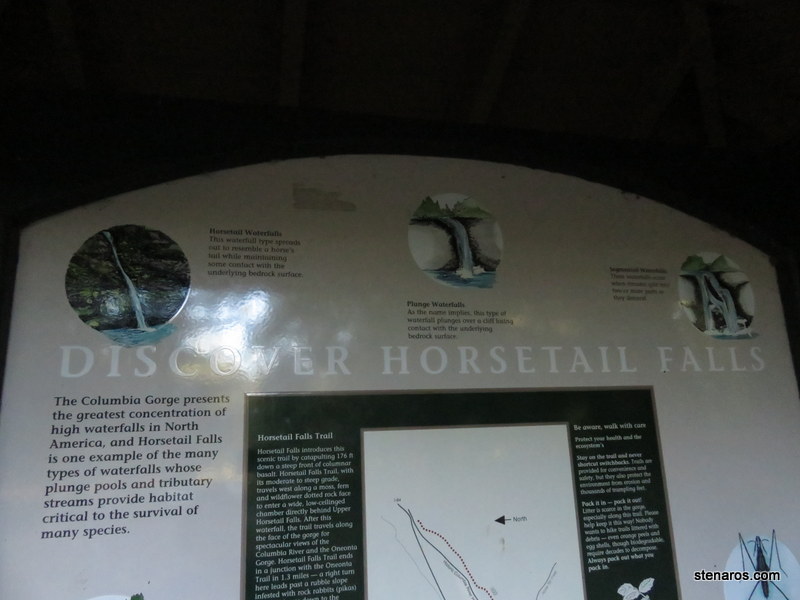
Would you like a photo of some lichen?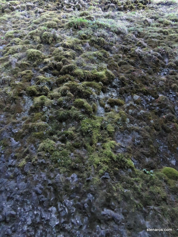
Matt stands under the 80 foot Ponytail Falls. Of note, this picture took much waving of hands (I was quite far away) and several photos taken because the water kept blurring.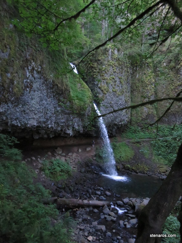
Like in this example.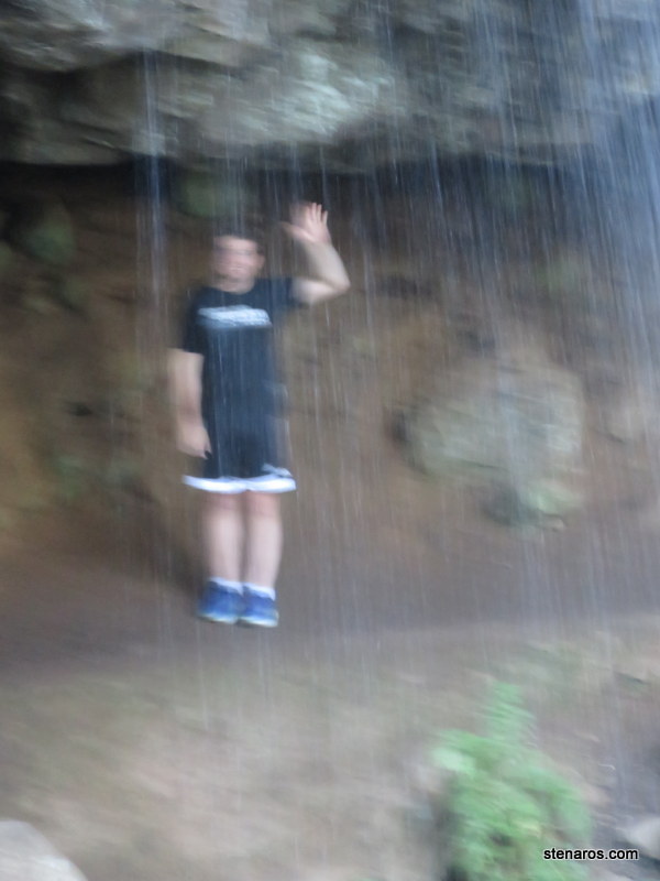
Better.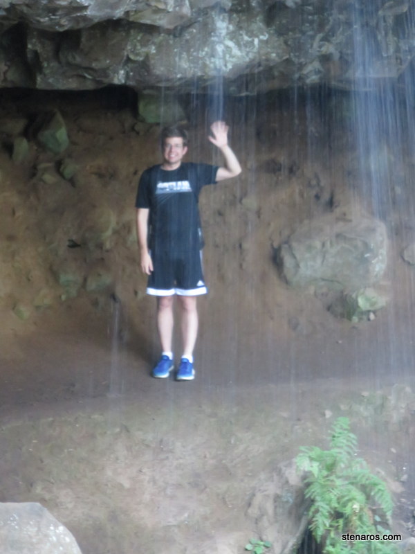
Looking through the falls. 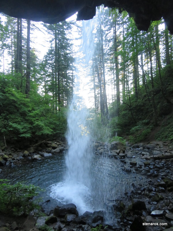
Pretty green hanging ferns.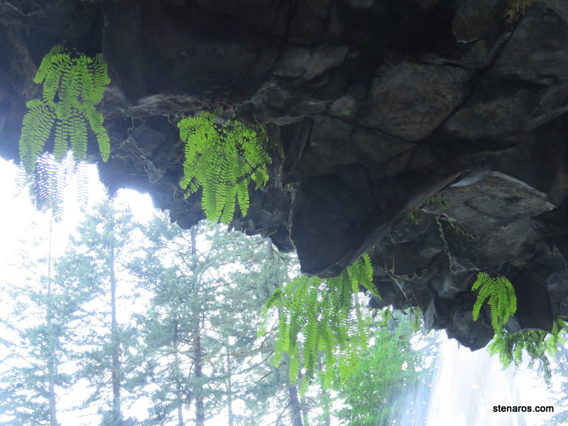
Poor Glenn. If he was still alive we would more-or-less be the same age. The article from the Oregonian said he and his friend were hiking when this happened.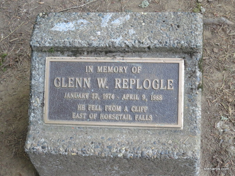
Downed tree or shaggy wizard?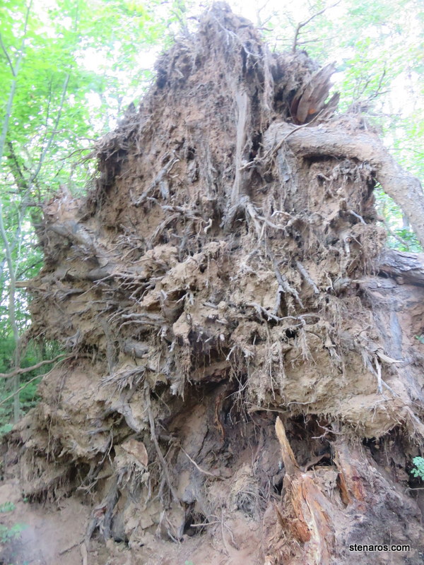
More falls.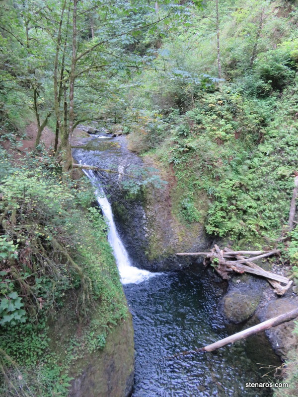
Tall bridge! With interesting anti-flag sticker I didn’t notice when I took the picture.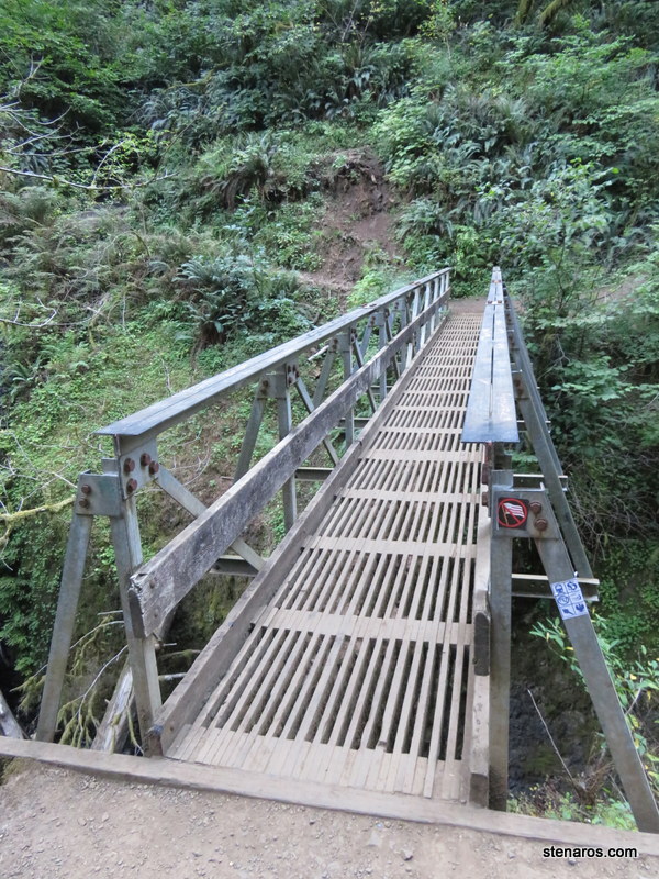
Blurry picture, but very cool tree growing out of a nurse log. I love how long the roots are.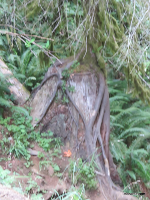
Guess what this group of falls is called? Just guess!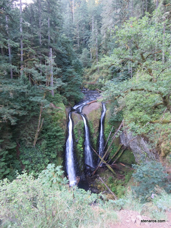
Did you guess Triple Falls? You are right!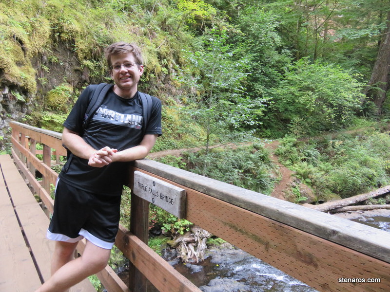
Some cairns.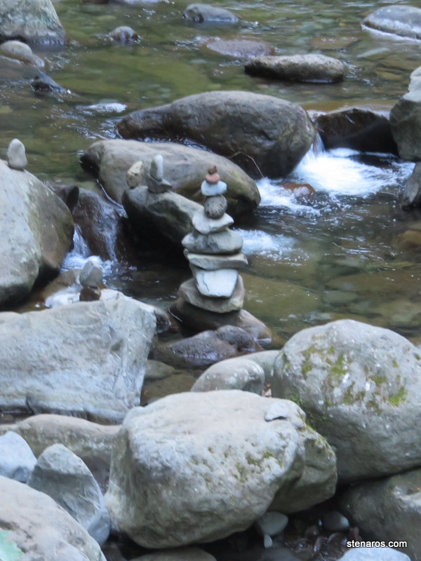
Timer photo shot.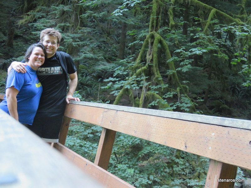
This is the mouth of the Oneonta Gorge. People were hiking back into it. 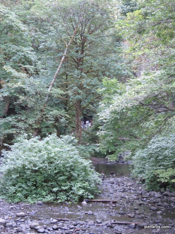
Tunnel! This was once part of the Columbia River Gorge Highway. Imagine driving your Model T through this tunnel! The interpretative sign told me that this was a difficult tunnel to make due to how the rock disintegrated easily. If memory serves, they solved this problem by reinforcing everything with concrete and that made it all good. Guess what explains this better than me? The internet! You can read about construction by going here. Scroll down to Design and Desription to find a better explanation.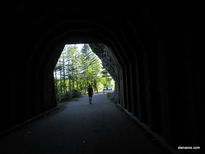
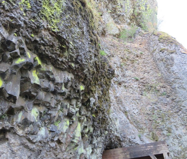
Lots of rock. Which I now have been reminded is basalt rock. Also known as “dice” rock. Me and geology. We don’t get along so well.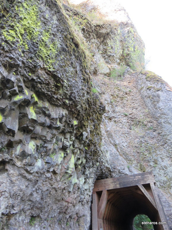
This was yet another good Gorge hike.


